65 City Licenses45 Named VesselsDirect Captain Phones
Compare 78 Seward Charter Operators & 45 Named Vessels
Every operator record cross-references 2025/2026 City of Seward charter licenses, vessel names (VES-001 to VES-045), hull builders, lengths, and published slip assignments.
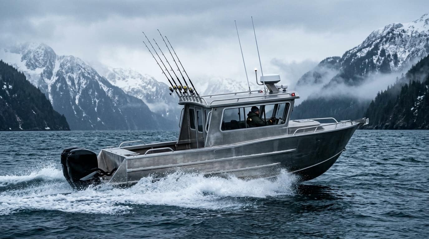
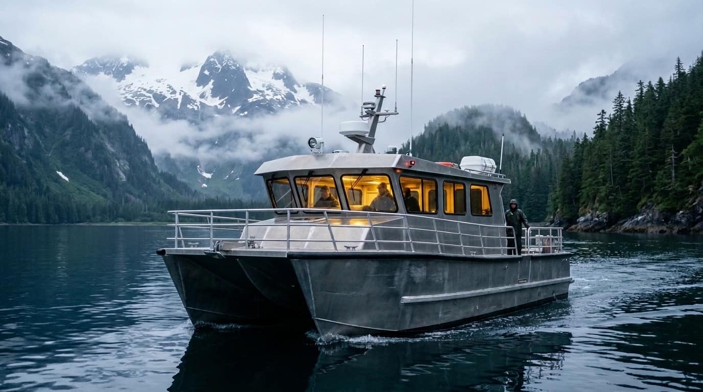
47 Individual Charter Vessel Pages with Boarding Protocols
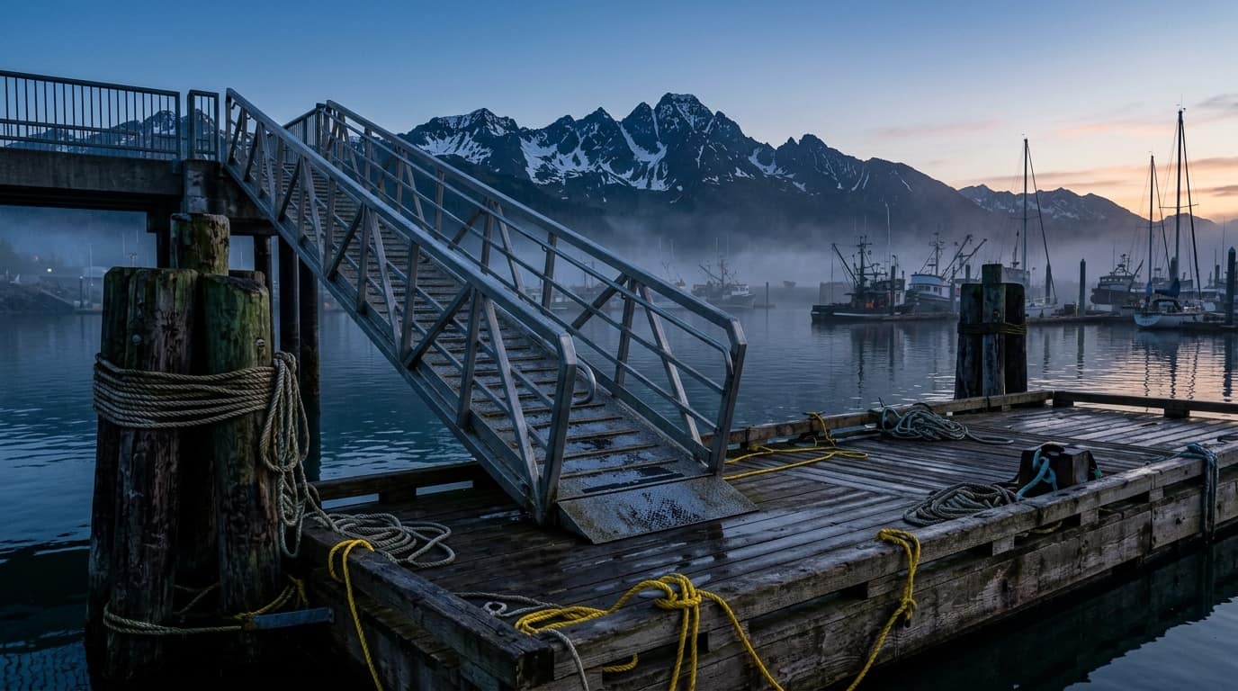
Inspect dedicated pages for every vessel in the fleet—complete with 3-point boarding cards (check-in office, gangway ramp, and berth), hull specs, and map deep-links.
588 GIS SlipsPhoto & Logo UploadInstant Dock Pass PNG
Pin Your Exact Float (A–Z) & Numbered Slip on the Harbor Map
Auto-fill your existing operator profile, pick your exact stall from 588 City of Seward GIS slips, attach vessel photos or logos, and download your 5:30 AM angler Dock Pass.
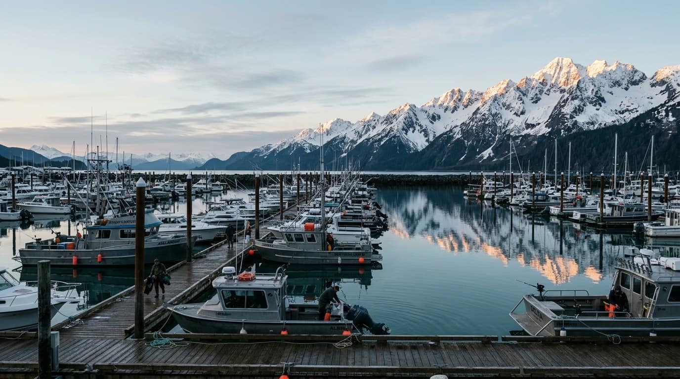
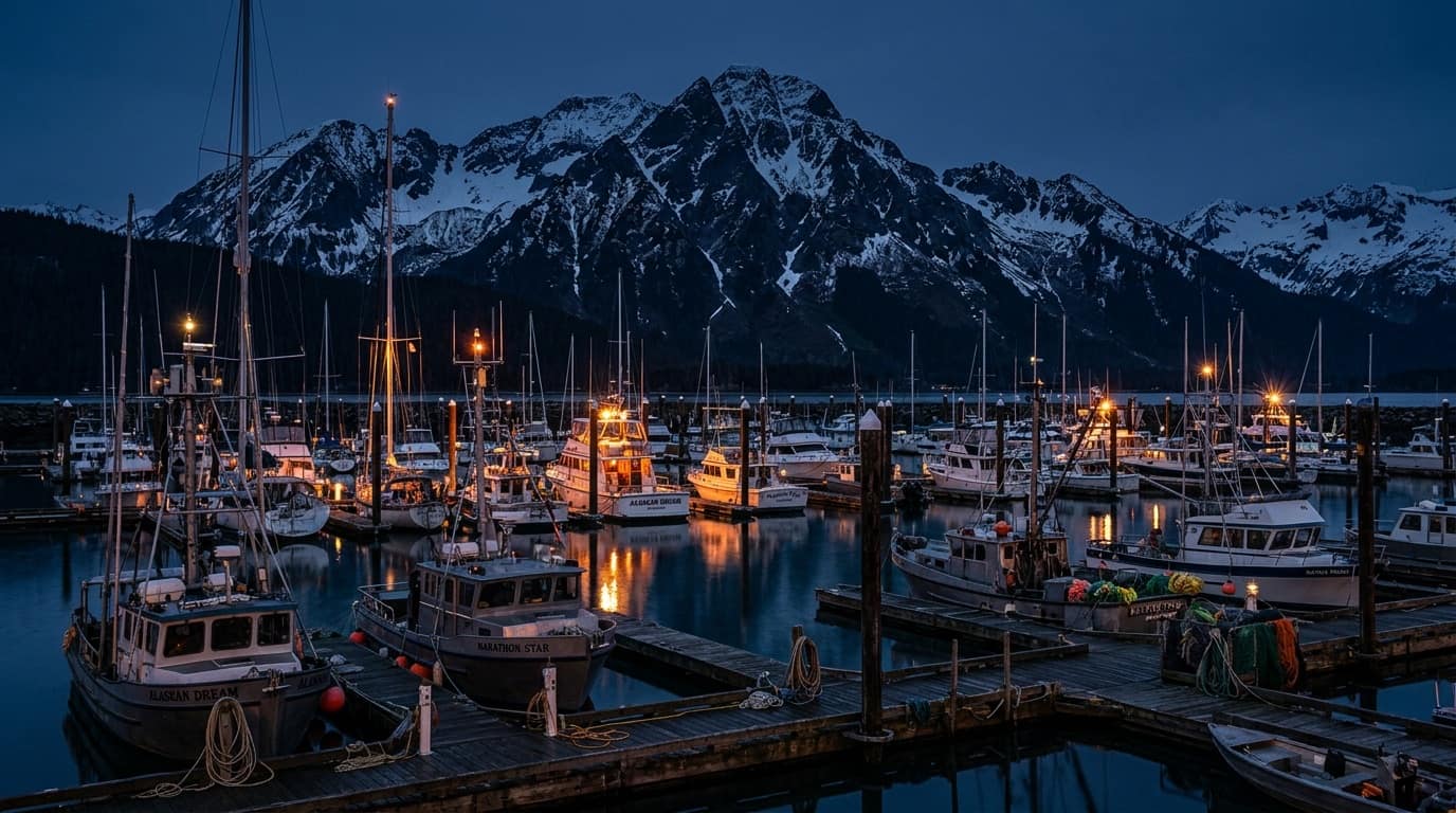
SEWARD SMALL BOAT HARBOR · 60.1195° N, 149.4386° W · VHF CH 16 / 17Boarding a 5:30 AM charter? Locate your exact float letter (A–Z), numbered slip, and nearest municipal parking lot.
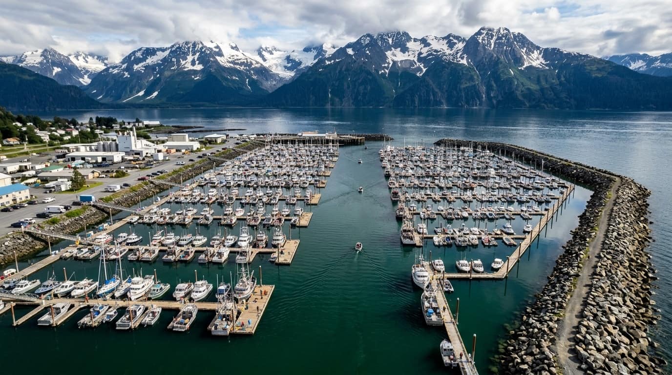
Full-Bleed Interactive Harbor Map with North → South Dock Ledger
Switch between Ocean Ink (5 AM), Fjord Teal, and Daylight Chart modes. Click any float (A–Z) or numbered stall to inspect boarding ramps and pinned charter vessels.
Never Walk the Wrong Half-Mile of Seward Small Boat Harbor
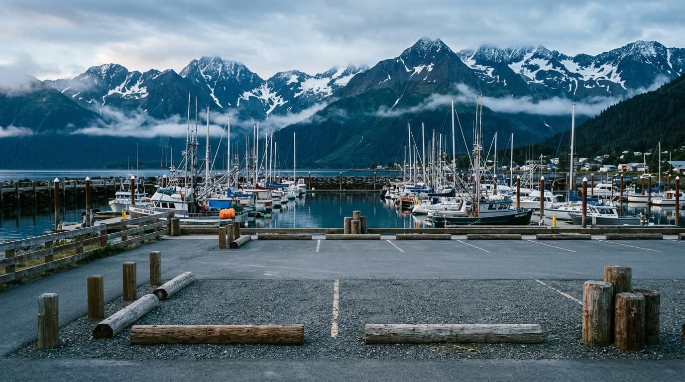
Seward's basin stretches over 0.6 miles from South Ramp (Float A) to North Basin (Float L). Look up your vessel's exact float and gangway before you park.
View all 6 City of Seward GIS parking polygons, automated pay kiosk tips, 14 Free City Shuttle stops, 9 public restrooms, and 10 waterfront campgrounds.
SEWARD SMALL BOAT HARBOR · 60.1195° N, 149.4386° W · VHF CH 16 / 17Boarding a 5:30 AM charter? Locate your exact float letter (A–Z), numbered slip, and nearest municipal parking lot.
Zone PKZ714 & PKZ715Buoy SWXA2 & PILA2NOAA Tides 9455090
Check Resurrection Bay vs. Outer Gulf Swell Before Departure
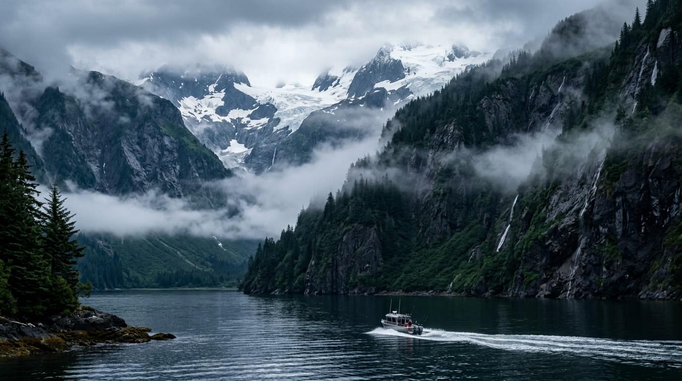
Compare protected fjord waters inside Caines Head (PKZ714) with open North Gulf swells at Pilot Rock and Montague Strait (PKZ715), plus live tide tables.
HELD EVERY AUGUST SINCE 1956 · B-FLOAT WEIGH BOOTHAug 8–16, 2026
Aug 8–16, 2026$10 Day / $50 Derby$5 Fish Buyback
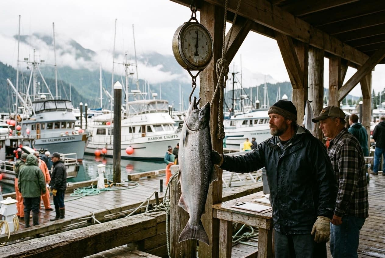
Compete in Alaska's Oldest & Most Iconic Coho Salmon Derby
Buy your ticket before lines go in the water, fish inside Resurrection Bay, and weigh mouth-hooked Coho at the B-Float booth with $5 angler fish buyback.
SEWARD SMALL BOAT HARBOR · 60.1195° N, 149.4386° W · VHF CH 16 / 17Boarding a 5:30 AM charter? Locate your exact float letter (A–Z), numbered slip, and nearest municipal parking lot.
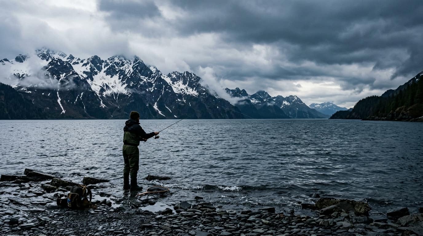
Catch Silver & Pink Salmon from the Beach in Seward
Complete DIY guide to Lowell Point cobble beach, Spring Creek water-taxi drops, Pixie spoon & Vibrax spinner setups, and Resurrection Bay snagging rules.
ANCHORAGE TO SEWARD · HIGHWAY, RAIL & CRUISETravel & Gear
126-Mi Seward Hwy11:15 AM Rail ArrivalDeck Boot & Gear List
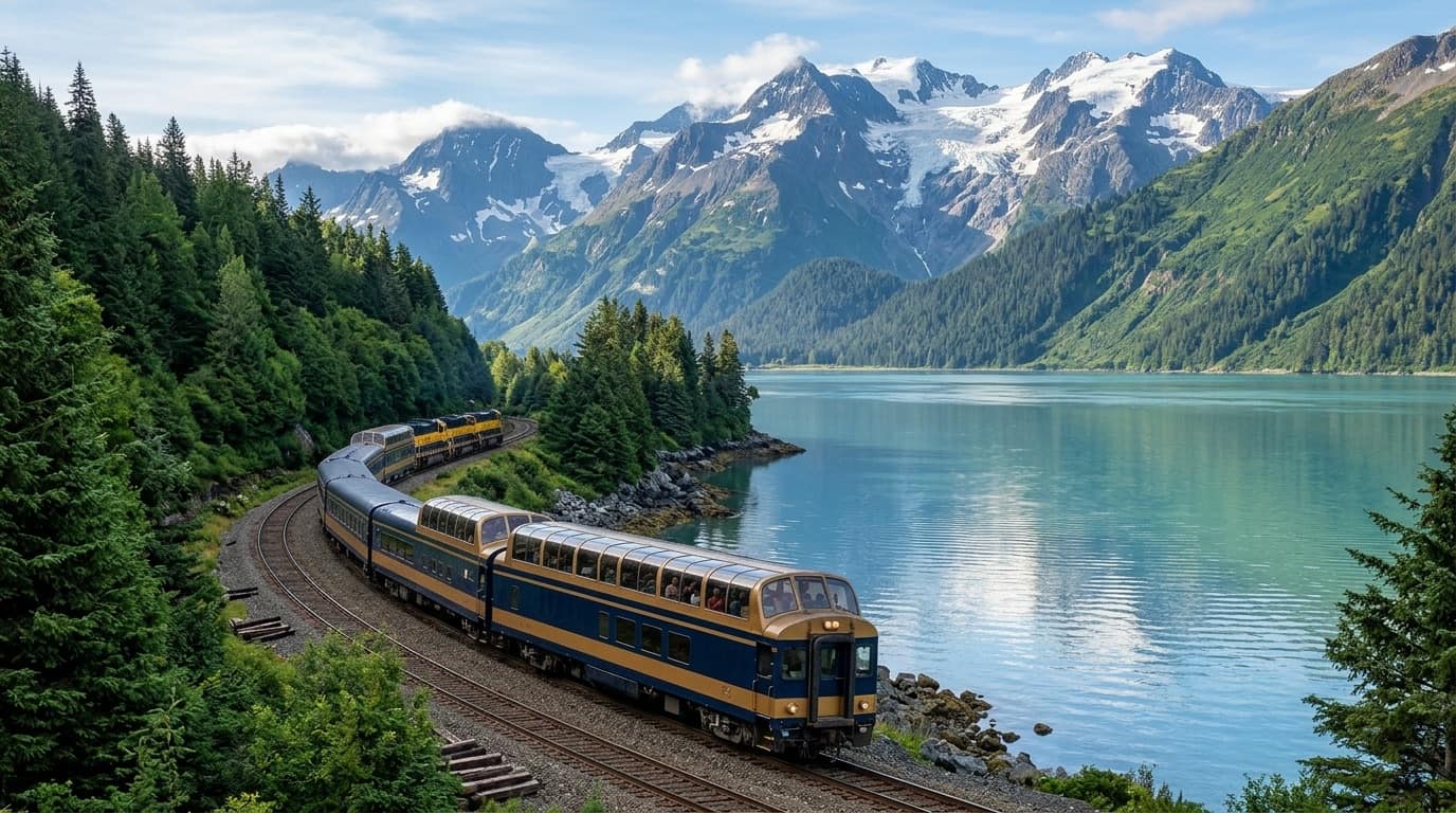
Sync Your Train or Cruise Arrival with 5:30 AM Dock Check-In
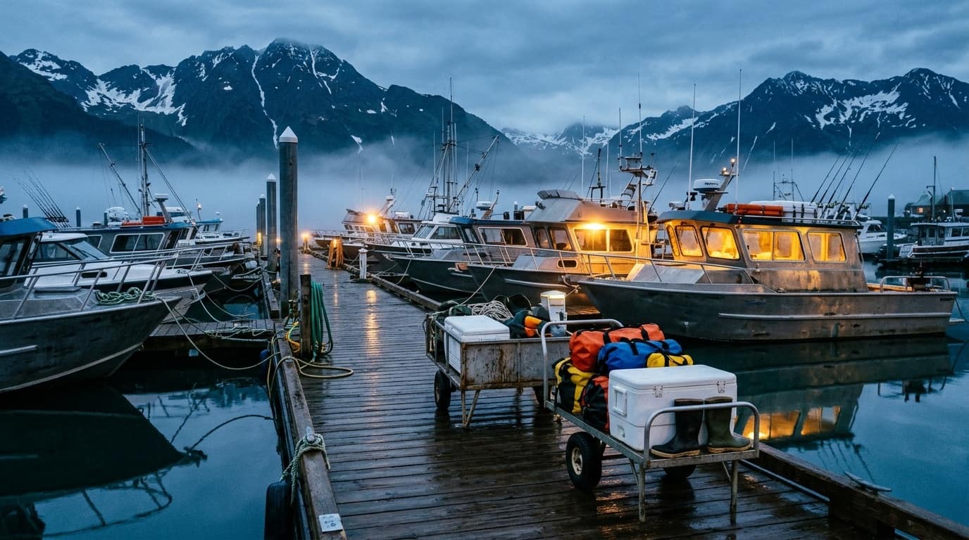
Full-day Gulf charters depart at 5:30–6:00 AM before the Coastal Classic train arrives at 11:15 AM. Plan overnight stays or afternoon half-day bay runs.
SEWARD SMALL BOAT HARBOR · 60.1195° N, 149.4386° W · VHF CH 16 / 17Boarding a 5:30 AM charter? Locate your exact float letter (A–Z), numbered slip, and nearest municipal parking lot.
Explore Resurrection Bay, Vessels & Docks in 50 Field Plates
Every plate is cataloged with category filters, technical captions, and lightbox inspection—covering dawn on the floats to offshore Montague Strait runs.
Access /llms.txt, /llms-full.txt, and /api/seward-harbor-facts.json for verified harbor coordinates, NOAA buoy stations, and charter license cross-references.
SEWARD SMALL BOAT HARBOR · 60.1195° N, 149.4386° W · VHF CH 16 / 17Boarding a 5:30 AM charter? Locate your exact float letter (A–Z), numbered slip, and nearest municipal parking lot.
60.1195° N · 149.4386° W · SEWARD SMALL BOAT HARBOR
For Seward Captains, Vessel Owners & Charter Offices
Captain Vessel & Harbor Slip Update Form
Select your vessel from our 78-operator / 47-boat roster or add a new charter boat, tap your assigned City of Seward GIS Float (A–Z) and numbered slip (1–58), upload vessel photos and logos, and generate your angler Dock Pass.
Every vessel with a confirmed Float (A–Z) and numbered slip (1–58) receives a high-contrast Teal Map Pin on the interactive Seward Small Boat Harbor map, direct links to your booking site and phone, and a downloadable 5:30 AM Lock-Screen Dock Pass for your anglers.