
Cape Cleare to Gore Point (Out to 15 NM)
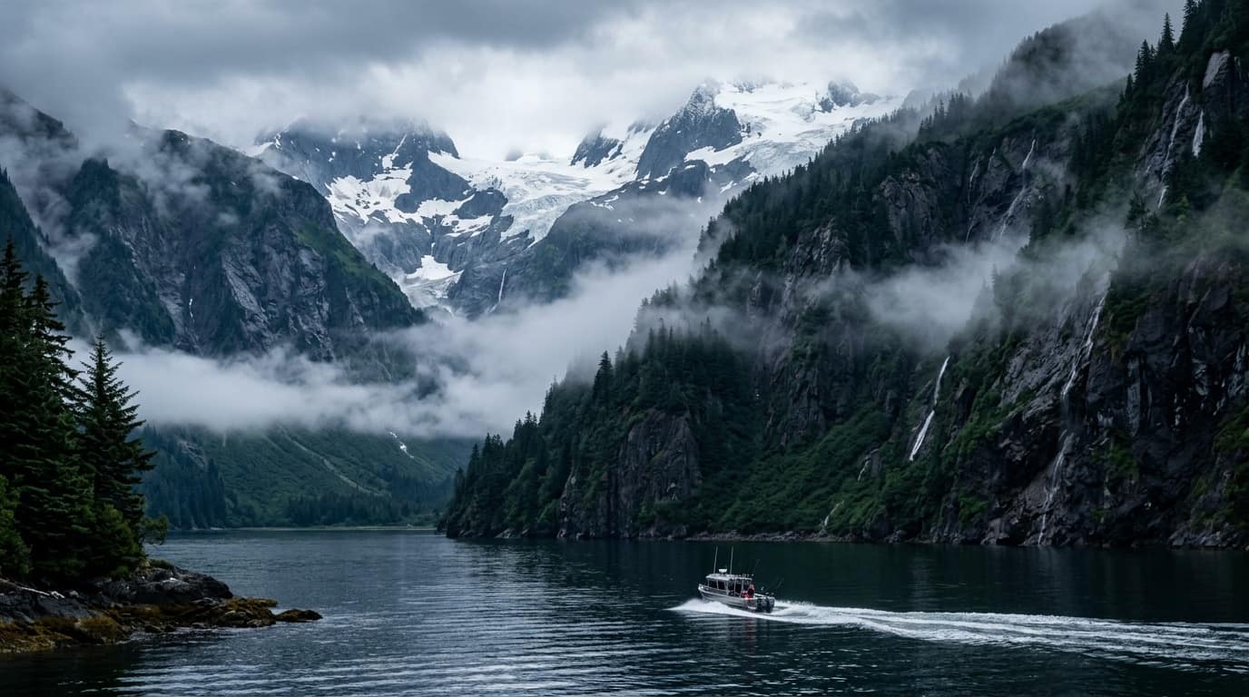
Zone PKZ715 — 3NM S Chiswell Islands · Kenai Fjords · Montague Strait
59.5564°N · 149.6270°W
| Loading official NOAA / NWS marine forecast periods... |
78 operators, 65 City licenses & 45 named vessels
Search all 65 City-licensed operators, 13 leads & 45 named boats with hull specs and phones.
Standalone vessel pages for Current Affair (B-27), Keep It Reel (B-11), Crackerjack (C-10) & more.
Upload or update your vessel specs, photos, logo, and official City of Seward GIS slip number.
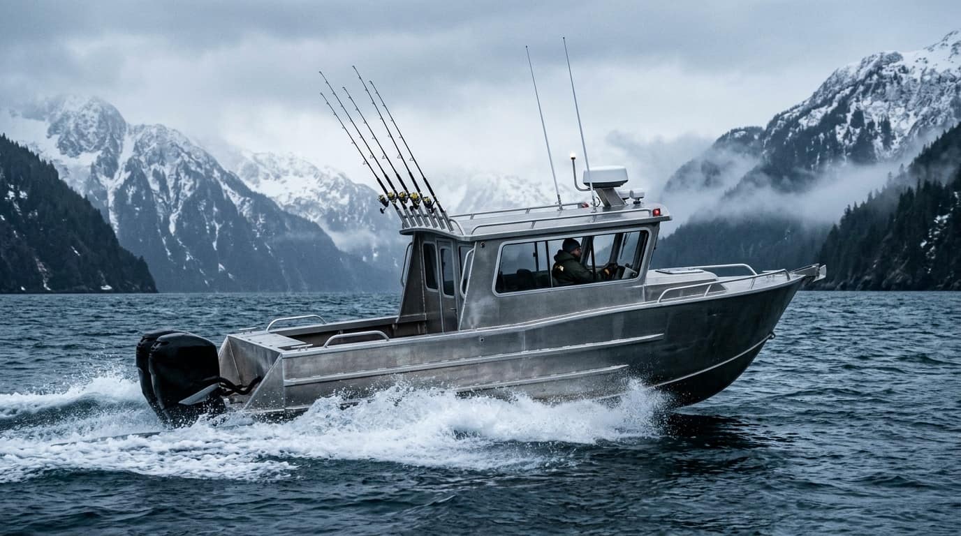
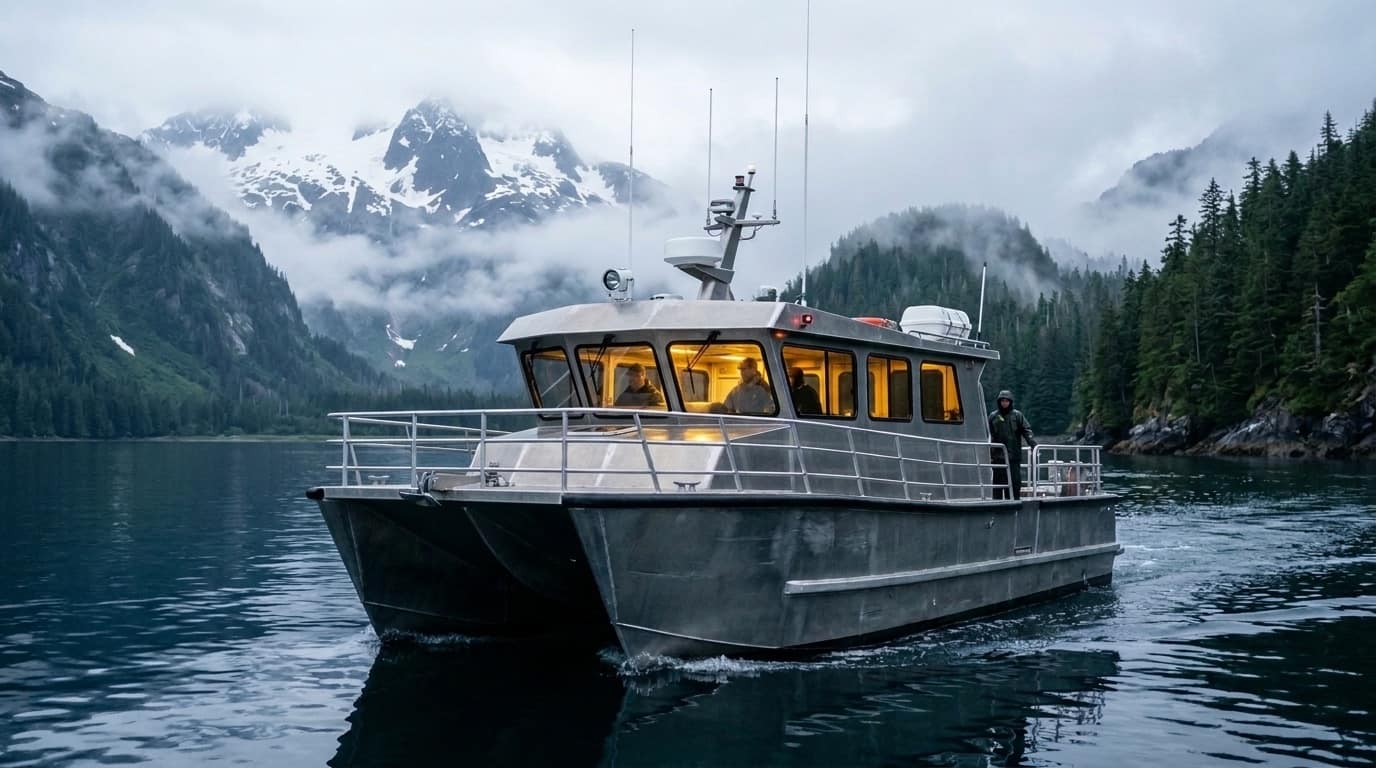
Match your group size, target species, swell tolerance, and arrival window to the ideal boat class.
Select your boat, tap your assigned Float (A–Z) and numbered slip (1–58), and upload vessel photos or logos.

Every operator record cross-references 2025/2026 City of Seward charter licenses, vessel names (VES-001 to VES-045), hull builders, lengths, and published slip assignments.

Inspect dedicated pages for every vessel in the fleet—complete with 3-point boarding cards (check-in office, gangway ramp, and berth), hull specs, and map deep-links.

Auto-fill your existing operator profile, pick your exact stall from 588 City of Seward GIS slips, attach vessel photos or logos, and download your 5:30 AM angler Dock Pass.

Filter by party size (solo/pair shared seats vs. private 6-pack), target slam (Halibut + Coho + Lingcod), and motion-sickness sensitivity.
City of Seward GIS Floats A–Z, 588 slips & 6 parking lots
Full-bleed Leaflet chart with 21 floats, 588 numbered stalls, and anti-overlap vessel callouts.
Type your boat name, captain, or slip code (A-21, B-11, C-10, E-28, K-24) to fly straight to your dock.
Match North Lot (Floats H–L), Center Lot (B–G), and South Uplands (A, M–S) + Free Shuttle route.
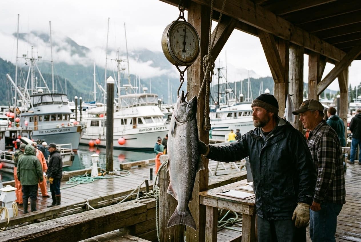
Explore J-Dock (North Basin fish cleaning station) and B-Dock (Central Basin Derby weigh booth).
Inspect our verified 21-float, 588-slip, and 6-parking-lot harbor dataset with zero synthetic coordinates.

Switch between Ocean Ink (5 AM), Fjord Teal, and Daylight Chart modes. Click any float (A–Z) or numbered stall to inspect boarding ramps and pinned charter vessels.

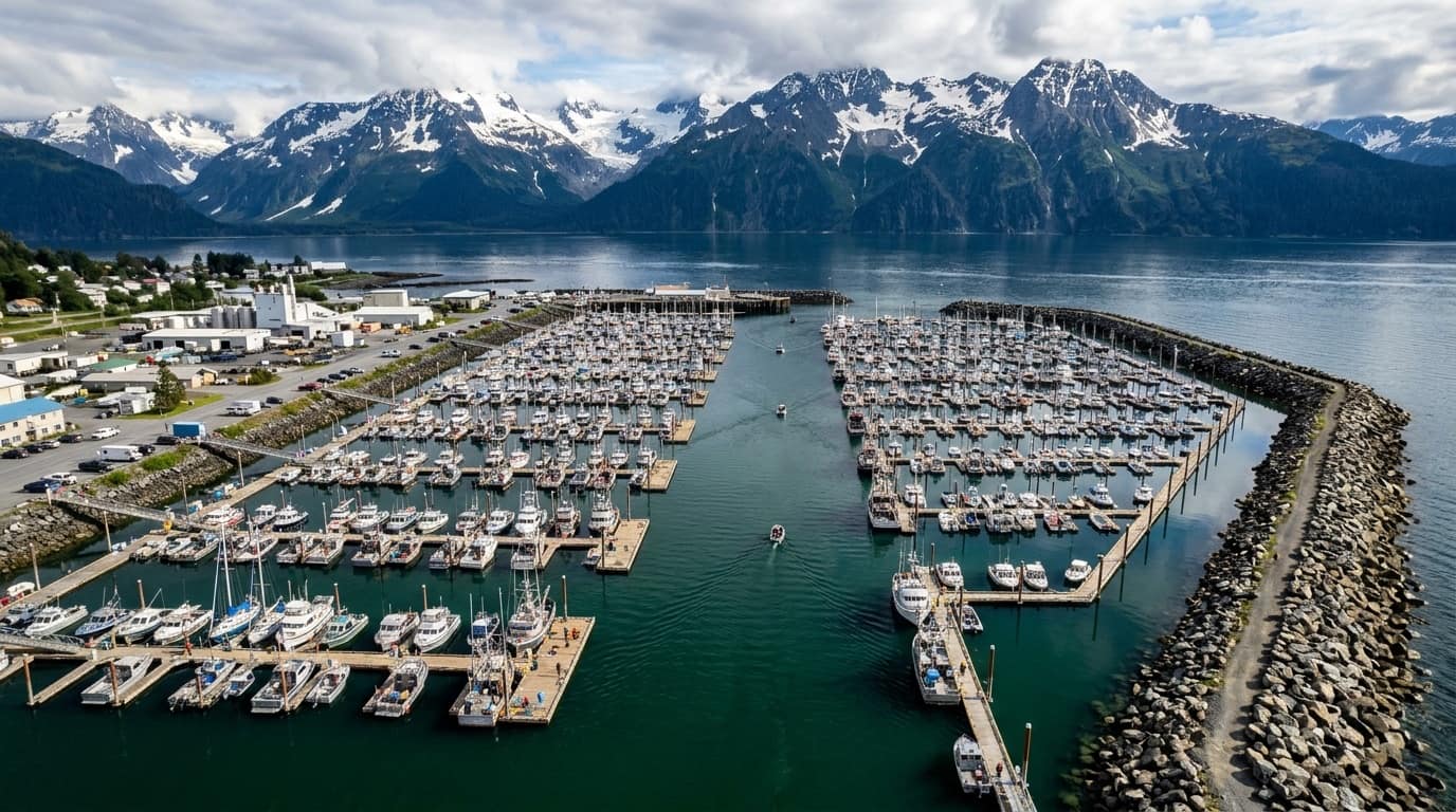
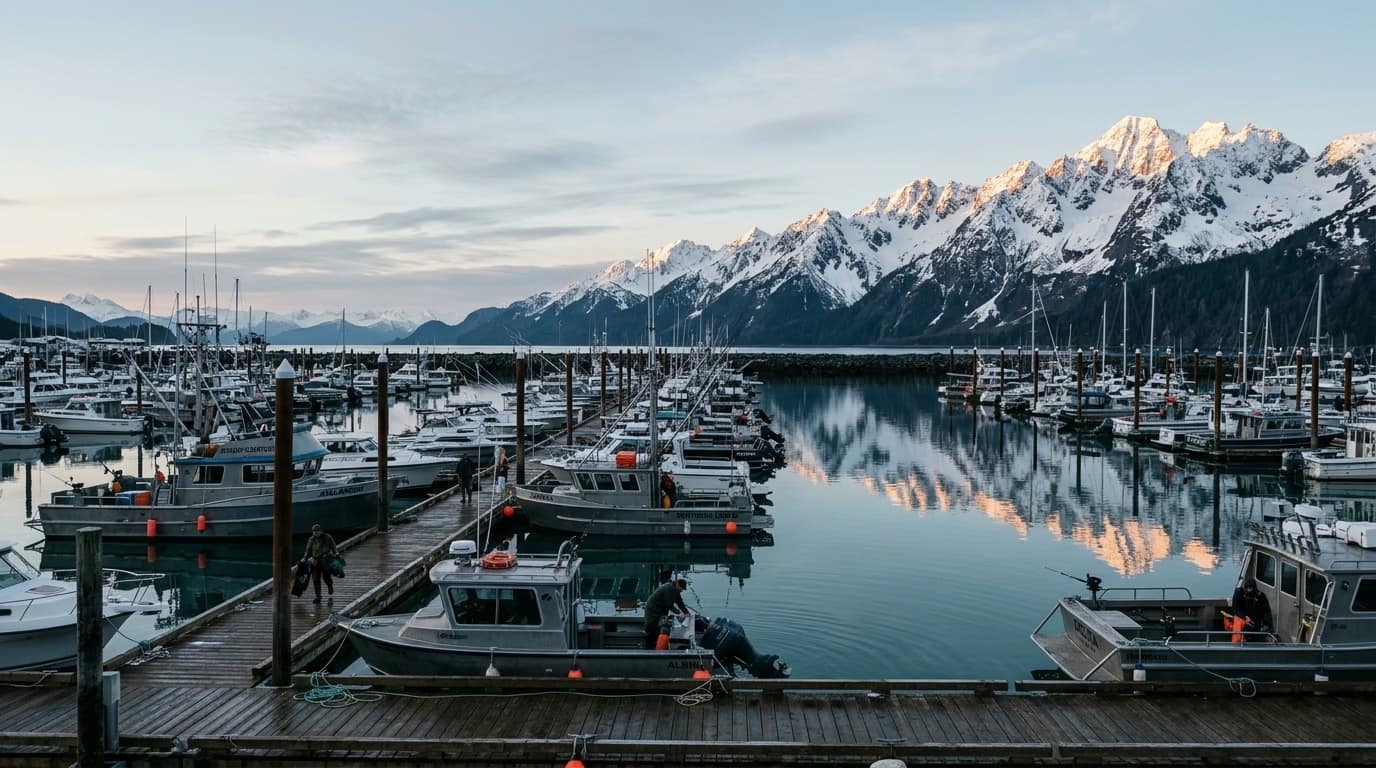
Seward's basin stretches over 0.6 miles from South Ramp (Float A) to North Basin (Float L). Look up your vessel's exact float and gangway before you park.

View all 6 City of Seward GIS parking polygons, automated pay kiosk tips, 14 Free City Shuttle stops, 9 public restrooms, and 10 waterfront campgrounds.

Inspect the vessels staging out of J-Dock (Outer Limits, Predator, Tailwatcher) and B-Dock (Pursuit, Striker, ProFish-n-Sea) with direct gangway pins.
Live NOAA marine buoys, 12-month run matrix & Salmon Derby
Live NWS marine zones PKZ714 & PKZ715, Seward tide station 9455090, and Pilot Rock buoy PILA2.
Month-by-month availability for Pacific Halibut, Silver Salmon, King Salmon, Lingcod & Rockfish.
Everything you need to compete: ticket rules, 3-lb minimum weight, and B-Float scale cutoffs.
Official $10 daily / $50 full-derby ticket rules, tagged Coho prizes, and B-Float weigh booth hours.

Compare protected fjord waters inside Caines Head (PKZ714) with open North Gulf swells at Pilot Rock and Montague Strait (PKZ715), plus live tide tables.

See exact Prime, Good, Limited, and Closed windows across all 12 months—including why July and August deliver the famous 4-species North Gulf slam.

Buy your ticket before lines go in the water, fish inside Resurrection Bay, and weigh mouth-hooked Coho at the B-Float booth with $5 angler fish buyback.
50-lb airline box calculator, shore guide & travel logistics
Enter your Halibut, Salmon, Lingcod & Rockfish catch to calculate boneless lbs and 50-lb wet-lock boxes.
Cast from Lowell Point Beach, Waterfall Creek, Spring Creek & Resurrection River + 12-question FAQ.
Why the 11:15 AM train misses 6:00 AM full-day boats, plus deck boots, rain bibs & seasickness prep.
Estimate boneless fillet weight from your catch and compare checked airline boxes vs. FedEx air cargo.

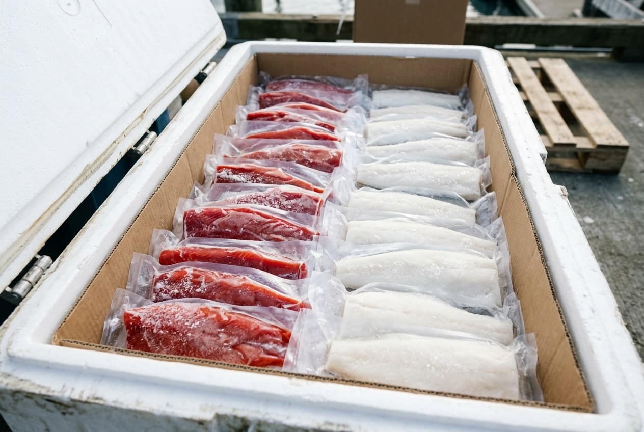
Halibut yield ~50% boneless fillets and Coho yield ~52%. Each 50-lb wax wet-lock box holds ~43 lbs of flash-frozen vacuum packs plus 7 lbs of insulated liner.

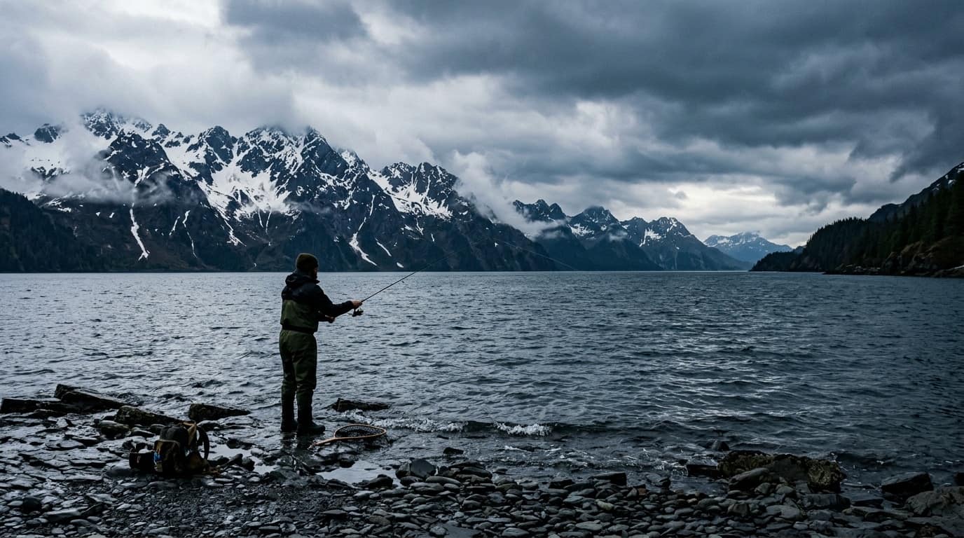
Complete DIY guide to Lowell Point cobble beach, Spring Creek water-taxi drops, Pixie spoon & Vibrax spinner setups, and Resurrection Bay snagging rules.

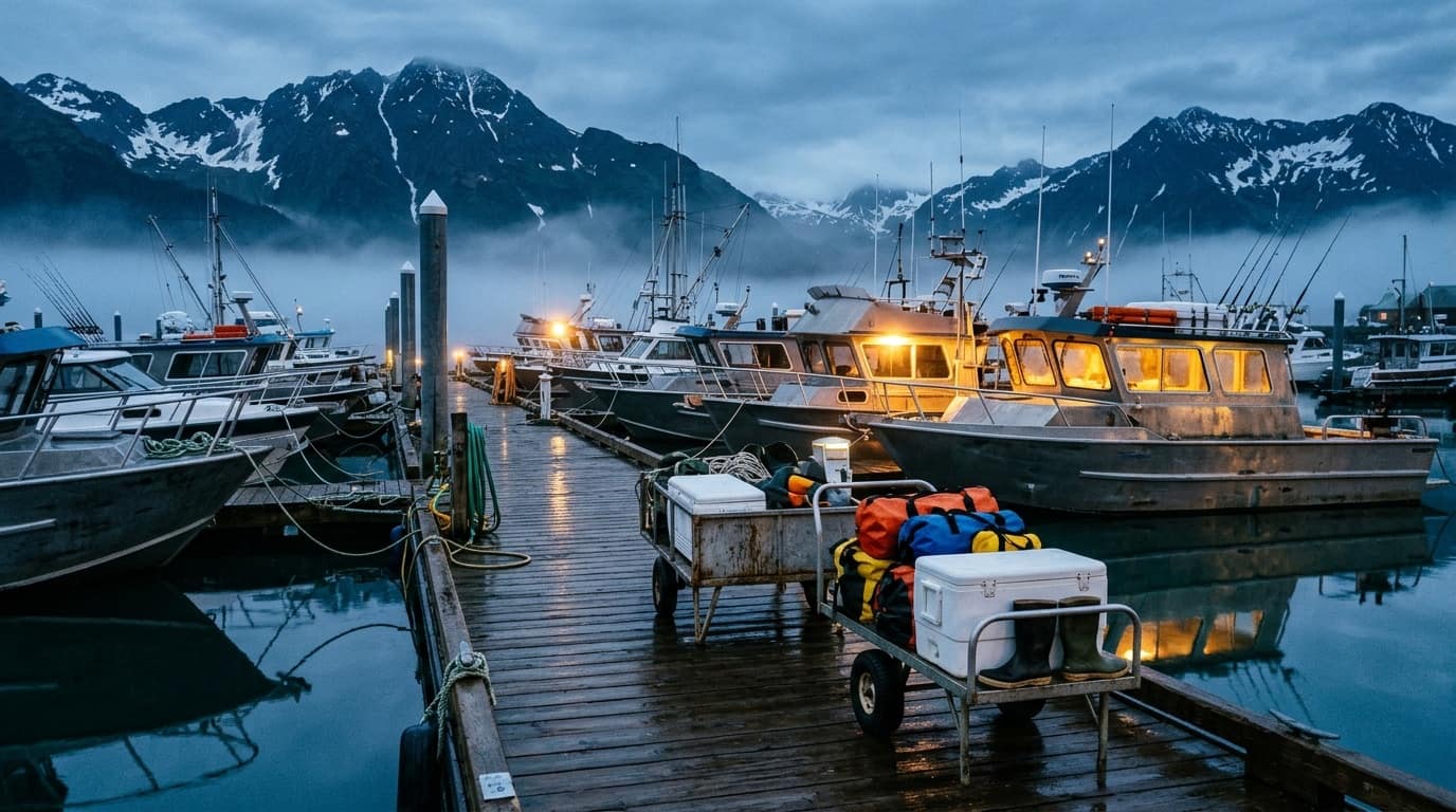
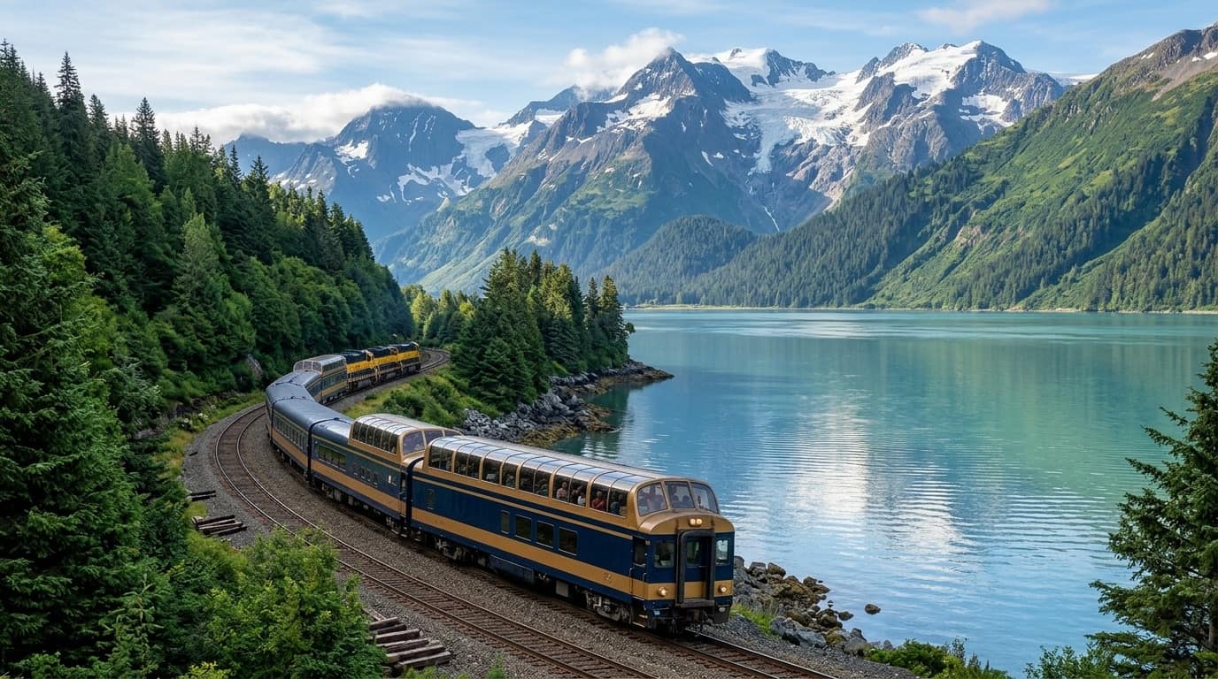
Full-day Gulf charters depart at 5:30–6:00 AM before the Coastal Classic train arrives at 11:15 AM. Plan overnight stays or afternoon half-day bay runs.
50-Plate Visual Field Guide, 10-Logo Brand Kit & open data
Filter 50 curated field plates across Fjords, Species, Vessels, Harbor Floats, Derby & Processing.
Inspect and download all 10 official Seward Fishing logo layouts, colorways, favicons & OG cards.
Machine-readable harbor coordinates, 78-operator directory, and species calendar for researchers.
Download all 10 layout and color variations of the SF Wave, Mt. Marathon & Whale-Tail logo in SVG and 4× PNG.

Every plate is cataloged with category filters, technical captions, and lightbox inspection—covering dawn on the floats to offshore Montague Strait runs.

Includes Dark & Daylight Horizontal Lockups, Centered Vertical Crest, Single-Line Hull Banner, Circular Harbor Master Seal, Squircle App Icon, and 1-Color Stencils.

Access /llms.txt, /llms-full.txt, and /api/seward-harbor-facts.json for verified harbor coordinates, NOAA buoy stations, and charter license cross-references.
Interactive NWS coastline-hugging marine zone overlay (`PKZ714`, `PKZ715`, `PKZ716`, `PKZ711`) and click-anywhere 2.5km Point Forecast Area inspector—modeled on NWS Anchorage `MapClick` with live Pilot Rock Buoy (`PILA2`) and Seward Tide Station `9455090` telemetry.
No active Gale or Storm Warnings reported in Resurrection Bay (PKZ714). Check offshore PKZ715 periods before rounding Cape Resurrection.
Loading official NWS Anchorage synoptic pressure and frontal boundary analysis for the Northern Gulf of Alaska Coast...
59.5564°N · 149.6270°W
| Loading NWS marine forecast periods... |
NOAA NDBC Hourly Wind & Gusts
| Time (AK) | Dir | Wind (kt) | Gust (kt) |
|---|---|---|---|
| Loading Pilot Rock PILA2 hourly observations... | |||
MLLW Datum · Resurrection Bay
Zone PKZ715 — 3NM S Chiswell Islands · Kenai Fjords · Montague Strait
59.5564°N · 149.6270°W
| Loading official NOAA / NWS marine forecast periods... |
Zone PKZ714 — Protected Fjord Waters North of Callisto & Aialik Heads
60.0150°N · 149.3950°W
| Loading official NOAA / NWS marine forecast periods... |
Point Forecast — 59.87°N 149.28°W (Sunny Cove / Barwell Island)
59.8684°N · 149.2843°W
| Loading official NOAA / NWS marine forecast periods... |
Point Forecast — 59.71°N 149.52°W (Chiswell & Aialik Approach)
59.7072°N · 149.5233°W
| Loading official NOAA / NWS marine forecast periods... |
Zone PKZ716 — Outer North Gulf Shelf & Deepwater Halibut Banks
59.2500°N · 149.2000°W
| Loading official NOAA / NWS marine forecast periods... |
Zone PKZ711 — Montague Island East & Prince William Sound Entrance
59.9500°N · 147.4500°W
| Loading official NOAA / NWS marine forecast periods... |