65 City Licenses45 Named VesselsDirect Captain Phones
Compare 78 Seward Charter Operators & 45 Named Vessels
Every operator record cross-references 2025/2026 City of Seward charter licenses, vessel names (VES-001 to VES-045), hull builders, lengths, and published slip assignments.
47 Individual Charter Vessel Pages with Boarding Protocols
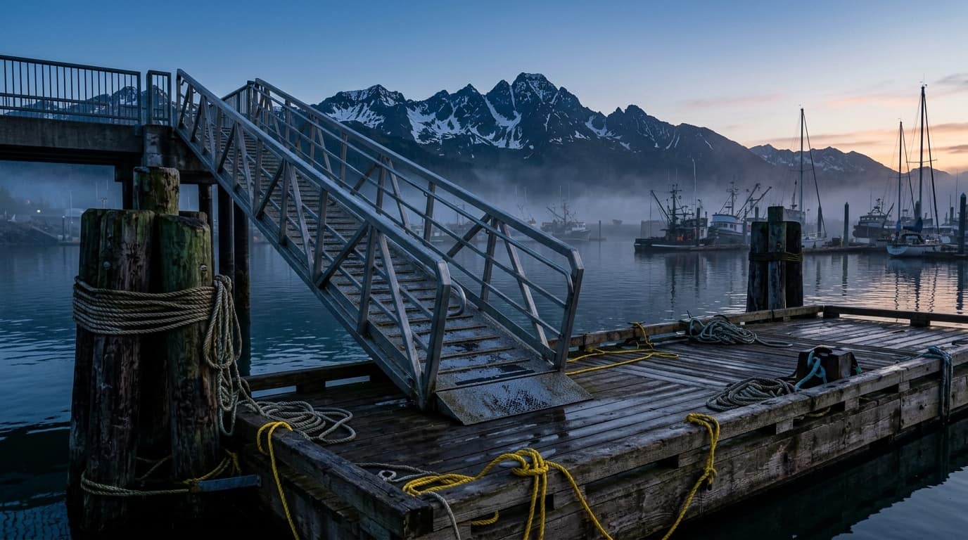
Inspect dedicated pages for every vessel in the fleet—complete with 3-point boarding cards (check-in office, gangway ramp, and berth), hull specs, and map deep-links.
588 GIS SlipsPhoto & Logo UploadInstant Dock Pass PNG
Pin Your Exact Float (A–Z) & Numbered Slip on the Harbor Map
Auto-fill your existing operator profile, pick your exact stall from 588 City of Seward GIS slips, attach vessel photos or logos, and download your 5:30 AM angler Dock Pass.
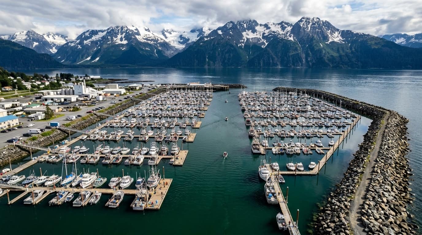
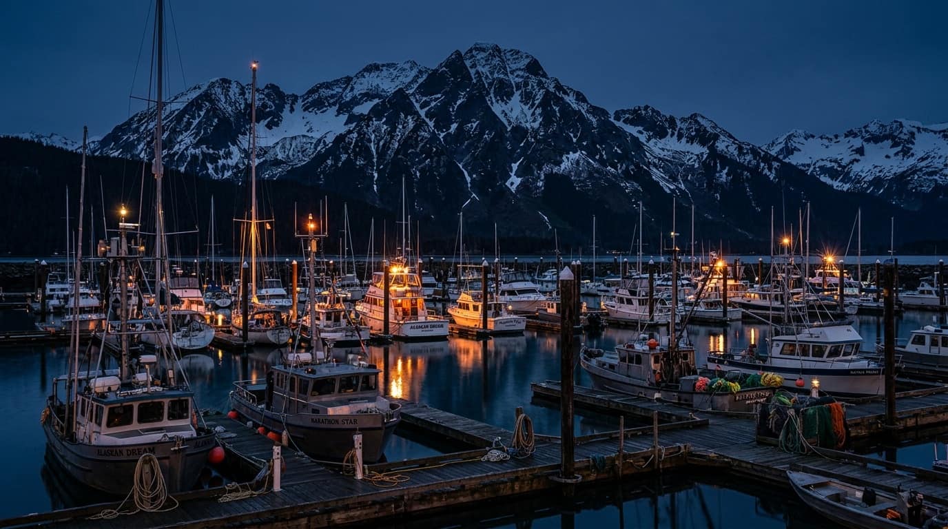
SEWARD SMALL BOAT HARBOR · 60.1195° N, 149.4386° W · VHF CH 16 / 17Boarding a 5:30 AM charter? Locate your exact float letter (A–Z), numbered slip, and nearest municipal parking lot.
Full-Bleed Interactive Harbor Map with North → South Dock Ledger
Switch between Ocean Ink (5 AM), Fjord Teal, and Daylight Chart modes. Click any float (A–Z) or numbered stall to inspect boarding ramps and pinned charter vessels.
Never Walk the Wrong Half-Mile of Seward Small Boat Harbor
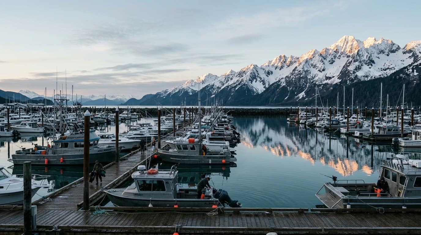
Seward's basin stretches over 0.6 miles from South Ramp (Float A) to North Basin (Float L). Look up your vessel's exact float and gangway before you park.
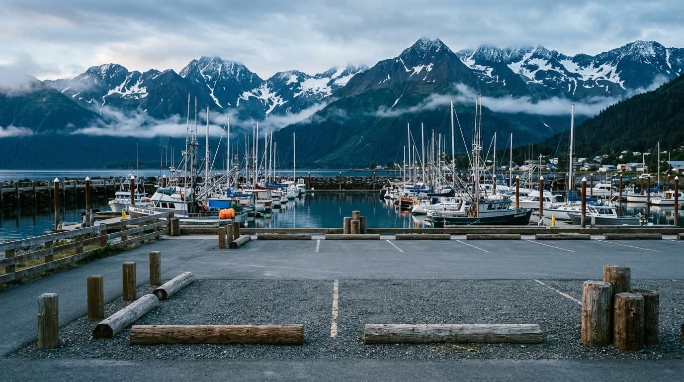
View all 6 City of Seward GIS parking polygons, automated pay kiosk tips, 14 Free City Shuttle stops, 9 public restrooms, and 10 waterfront campgrounds.
SEWARD SMALL BOAT HARBOR · 60.1195° N, 149.4386° W · VHF CH 16 / 17Boarding a 5:30 AM charter? Locate your exact float letter (A–Z), numbered slip, and nearest municipal parking lot.
Zone PKZ714 & PKZ715Buoy SWXA2 & PILA2NOAA Tides 9455090
Check Resurrection Bay vs. Outer Gulf Swell Before Departure
Compare protected fjord waters inside Caines Head (PKZ714) with open North Gulf swells at Pilot Rock and Montague Strait (PKZ715), plus live tide tables.
HELD EVERY AUGUST SINCE 1956 · B-FLOAT WEIGH BOOTHAug 8–16, 2026
Aug 8–16, 2026$10 Day / $50 Derby$5 Fish Buyback
Compete in Alaska's Oldest & Most Iconic Coho Salmon Derby
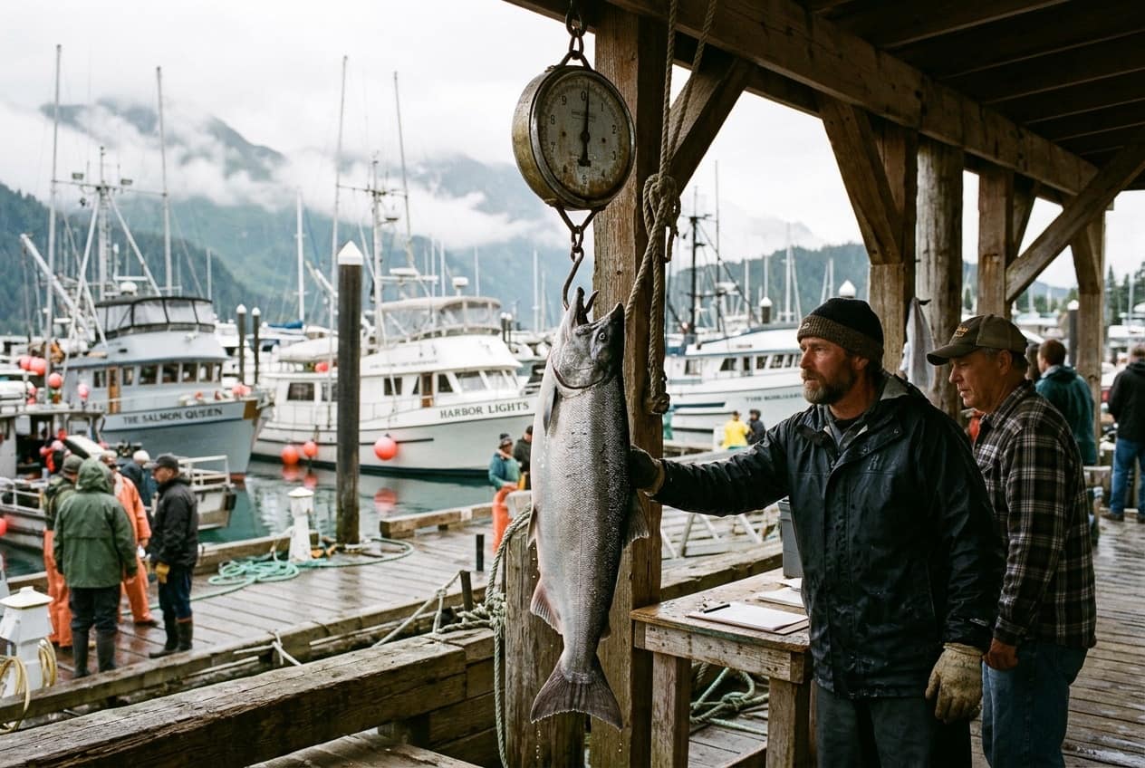
Buy your ticket before lines go in the water, fish inside Resurrection Bay, and weigh mouth-hooked Coho at the B-Float booth with $5 angler fish buyback.
SEWARD SMALL BOAT HARBOR · 60.1195° N, 149.4386° W · VHF CH 16 / 17Boarding a 5:30 AM charter? Locate your exact float letter (A–Z), numbered slip, and nearest municipal parking lot.
Catch Silver & Pink Salmon from the Beach in Seward
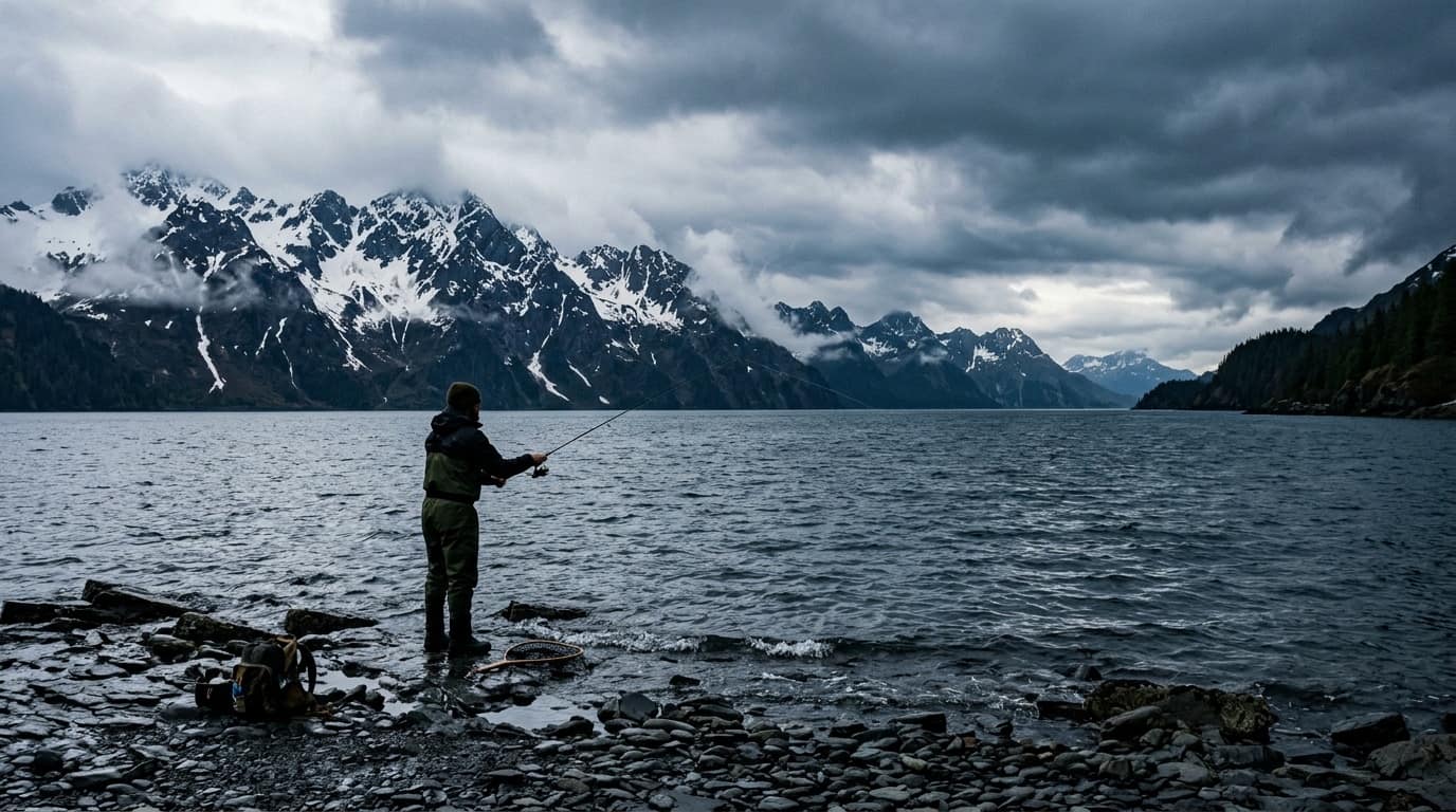
Complete DIY guide to Lowell Point cobble beach, Spring Creek water-taxi drops, Pixie spoon & Vibrax spinner setups, and Resurrection Bay snagging rules.
ANCHORAGE TO SEWARD · HIGHWAY, RAIL & CRUISETravel & Gear
126-Mi Seward Hwy11:15 AM Rail ArrivalDeck Boot & Gear List
Sync Your Train or Cruise Arrival with 5:30 AM Dock Check-In
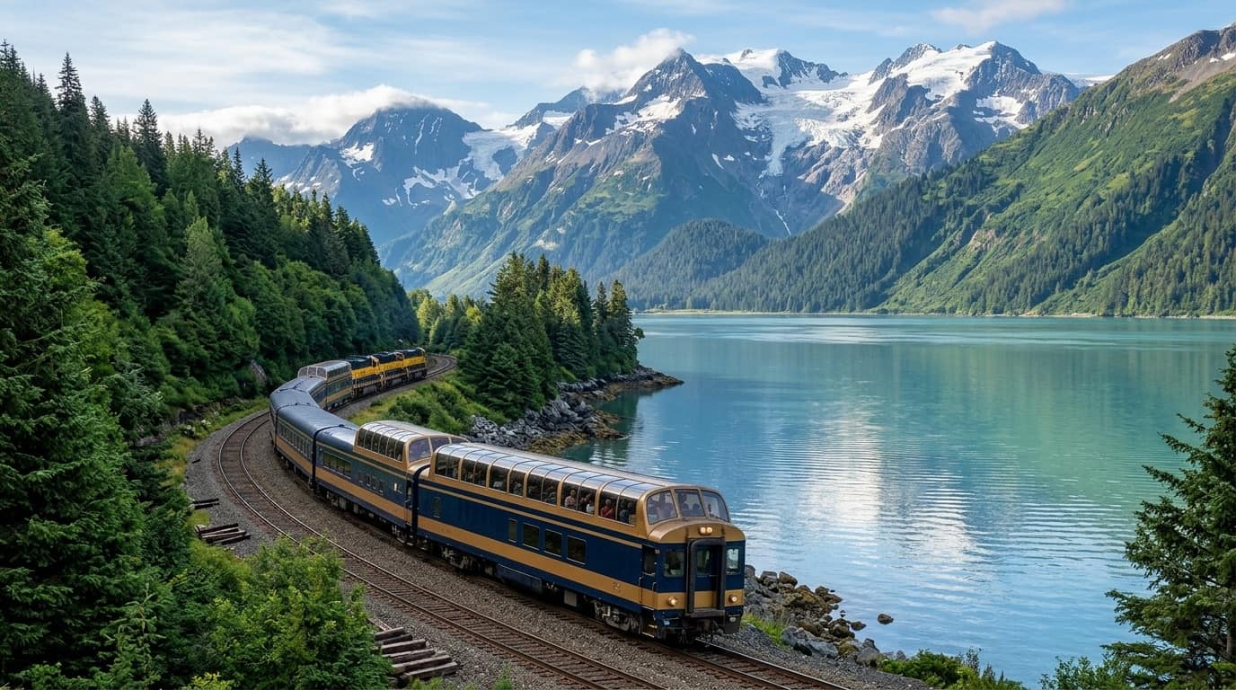
Full-day Gulf charters depart at 5:30–6:00 AM before the Coastal Classic train arrives at 11:15 AM. Plan overnight stays or afternoon half-day bay runs.
SEWARD SMALL BOAT HARBOR · 60.1195° N, 149.4386° W · VHF CH 16 / 17Boarding a 5:30 AM charter? Locate your exact float letter (A–Z), numbered slip, and nearest municipal parking lot.
Explore Resurrection Bay, Vessels & Docks in 50 Field Plates
Every plate is cataloged with category filters, technical captions, and lightbox inspection—covering dawn on the floats to offshore Montague Strait runs.
Access /llms.txt, /llms-full.txt, and /api/seward-harbor-facts.json for verified harbor coordinates, NOAA buoy stations, and charter license cross-references.
SEWARD SMALL BOAT HARBOR · 60.1195° N, 149.4386° W · VHF CH 16 / 17Boarding a 5:30 AM charter? Locate your exact float letter (A–Z), numbered slip, and nearest municipal parking lot.
60.1195° N · 149.4386° W · SEWARD SMALL BOAT HARBOR
78 Master Records · 45 Named Vessels (VES-001..VES-045)
Seward Charter Master Directory & Named-Vessel Roster
Cross-referencing all 65 official City of Seward 2025 Charter License entries, 13 supplementary 2026 fishing leads, and 45 named vessels with hull builders, lengths, passenger capacities, and published slip evidence.
78
Master Records
65
City Licenses
45
Named Vessels
38
Fishing / Mixed
78 MASTER DIRECTORY RECORDS · 45 VESSEL RECORDS (VES-001..VES-045) · UPDATED NOV 2, 2026
Seward Charter Master Directory & Named-Vessel Berth Roster
We cross-reference the full City of Seward 2025 Charter License roster (65 entries) with 13 supplementary 2026 operator leads and a 45-vessel berth directory (VES-001 through VES-045). Every entry distinguishes a company from its individual vessels (e.g., Crackerjack at C-10 vs. Crackerjack Voyager at E-18), separates shoreside business addresses from boarding docks, and isolates sightseeing-only operators from the default fishing map.
MASTER DIRECTORY JSON78 RECORDS / LEADS
Includes published phone numbers, 2025 City charter license classifications, known vessels, slip evidence, and verification status.
Entries categorized as “Charter” on the City’s 2025 license list (includes fishing, sightseeing, sailing & water transport).
SPORTFISHING & MIXED-USE
38
Fishing or mixed-use
Businesses on the official 2025 City list associated with sportfishing or mixed fishing/sightseeing operations.
2026 SUPPLEMENTARY RESEARCH
13
Additional leads
Found outside the 2025 City list (including Crackerjack Sportfishing, Pure Alaska, Outer Coast, Alaskan Summertime & Nauti-Dog).
SIGHTSEEING & UNCLASSIFIED
24 + 3
24 Non-Fishing + 3 Pending Classification
Sightseeing, sailing & water-taxi operators kept in the master directory but off the default fishing-only map.
Select Directory View & Google Ratings:
RESOLVED IDENTITY · SLIP B-27(907) 362-1694
Current Affair Charters & Inn & Out Charters
Both websites publish phone (907) 362-1694, mailing address PO Box 2336, and boarding slip B-27 under Capt. John Moline. We merge these into one record (Current Affair Charters, legacy name Inn & Out Charters) so B-27 never appears as two competing boats.
3 DISTINCT LOCATIONSANTI-CONFUSION RULE
Office Address ≠ Boarding Ramp ≠ Vessel Berth
Puffin Fishing Charters’1321 Fourth Ave address is a shoreside office—not where Tenacious is tied up. ProFish-n-Sea meets guests at the B-Dock check-in area, while Alaska Coastal Explorer’sHope lists F-47 (with E-42 flagged for confirmation on half-day salmon trips).
LAYER SEPARATIONLOWELL PT & WILDLIFE
Non-Fishing Slips & Lowell Point Departures
Seward Ocean Excursions (M-1, M-3, M-5, M-7) expressly prohibits fishing, and Closer to the Wild (B-47) runs photography tours—both are isolated from the sportfishing layer. Miller’s Landing departures from Lowell Point (3 mi south) are tagged in a separate out-of-harbor tier.
45 of 47 Boats
Float:
Seward Charter Vessels List View with Google Ratings, Reviews, Berths, Hull Specs, and Contact Links
6 Official Verification Sources & Scope Boundaries
How We Verify Seward Charter Vessels & Harbor Berths
The City of Seward Small Boat Harbor supports more than 100 tour and charter fishing vessels. Because no single agency publishes a live vessel-to-slip master map, we cross-reference six public sources before promoting a berth to an exact pin.
Subject to municipal public records disclosure & seasonal berth reassignment rules
2027 BERTH ROSTER VERIFICATION
Harbormaster & Captain Slip Confirmation
Are you a Seward charter captain or fleet manager? Confirm or update your vessel’s current check-in location, boarding float, and slip number for the 2027 season—if your berth changes, we update the assignment immediately without altering underlying dock geometry.
Never places a synthetic pin without verified slip geometry.
5-Question Trip Concierge
Find Your Ideal Seward Charter Profile
01 · How many anglers in your party?
02 · Primary target catch?
03 · Preferred time on the water?
04 · Arrival logistics?
05 · Vessel preference?
RECOMMENDED TRIP BLUEPRINT
Custom 6-Pack Outer Coast & Montague Combo
For 3–6 anglers targeting a multi-species box of Halibut, Silver Salmon, and Lingcod, a fast welded-aluminum 6-pack cuts travel time to Montague Strait and Cape Cleare.
TARGET SPECIES:Halibut · Silver Salmon · Rockfish
TRIP DURATION:Full-Day
VESSEL CLASS:6-pack
All rods, reels, bait, and terminal tackle are supplied by Seward charter operators.
Verify your ADF&G sport fishing license before 5:30 AM dock check-in (sold online only).
Get matched with a charter
Request a Seward fishing trip
Tell us what you're looking for. If an approved charter matches your trip, we'll forward the inquiry. Availability, pricing, and your reservation must be confirmed directly with the operator.
Online inquiries are being prepared. Please use verified charter contact details in the directory in the meantime.
Resurrection Bay Fleet Architecture
6-Pack Sportfisher vs. Multi-Passenger Expedition Vessel
Every Seward charter falls into one of two Coast Guard regulatory classes. Choosing the right hull determines your cruising speed to the outer Gulf, deck privacy, and per-person budget.
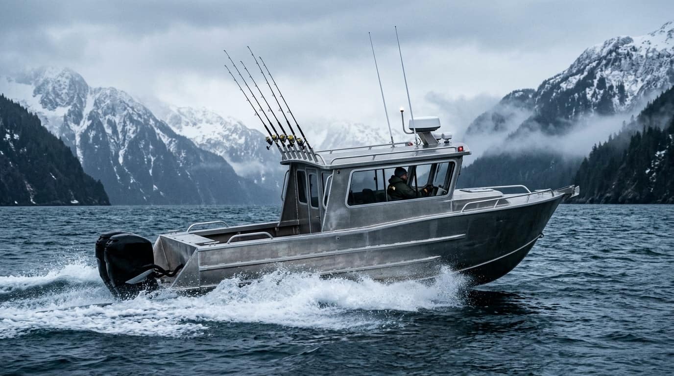
CLASS A · UNINSPECTED 6-PACK (MAX 6 ANGLERS)
Custom Welded-Aluminum 6-Pack
28–36 FT · TWIN OUTBOARD / DIESEL
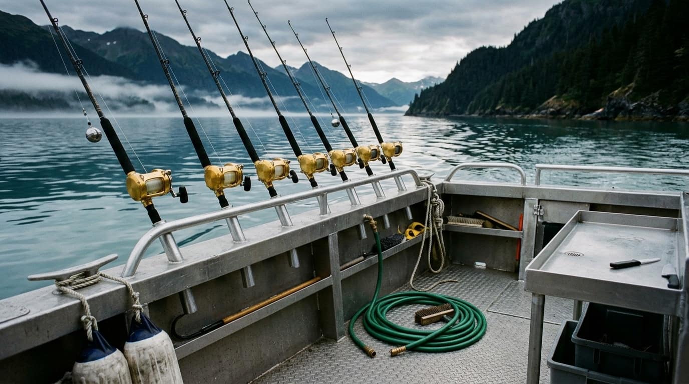
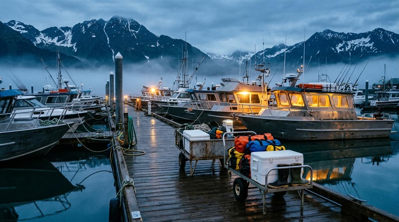
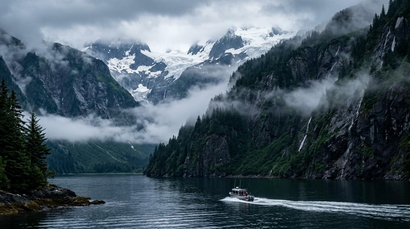
Built for speed and flexibility. With a strict USCG limit of six paying passengers, 6-pack boats plane quickly through Resurrection Bay to reach Montague Island, Cape Cleare, and outer rockpiles first.
Capacity
Up to 6 Anglers
Cruise Speed
24–32 Knots
Best For
Private / Serious Combo
All 6 rods can fish simultaneously on the drift or troll
Custom itinerary pacing when booked as a whole-boat private charter
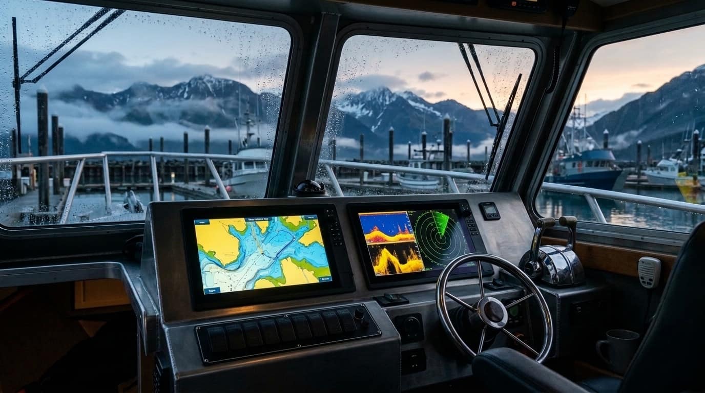
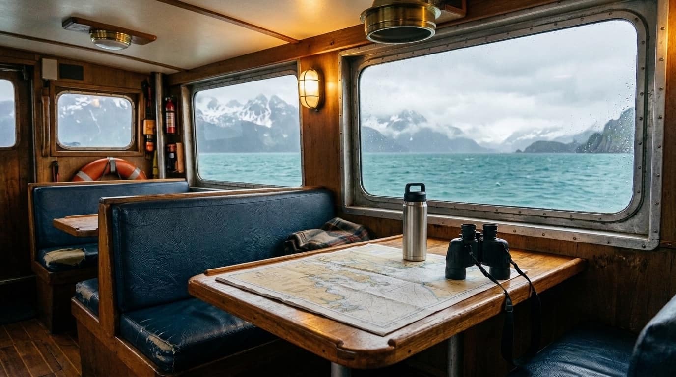
Enclosed heated cabin with marine head (restroom)
CLASS B · USCG-INSPECTED MULTI-PASSENGER (7–22+ ANGLERS)
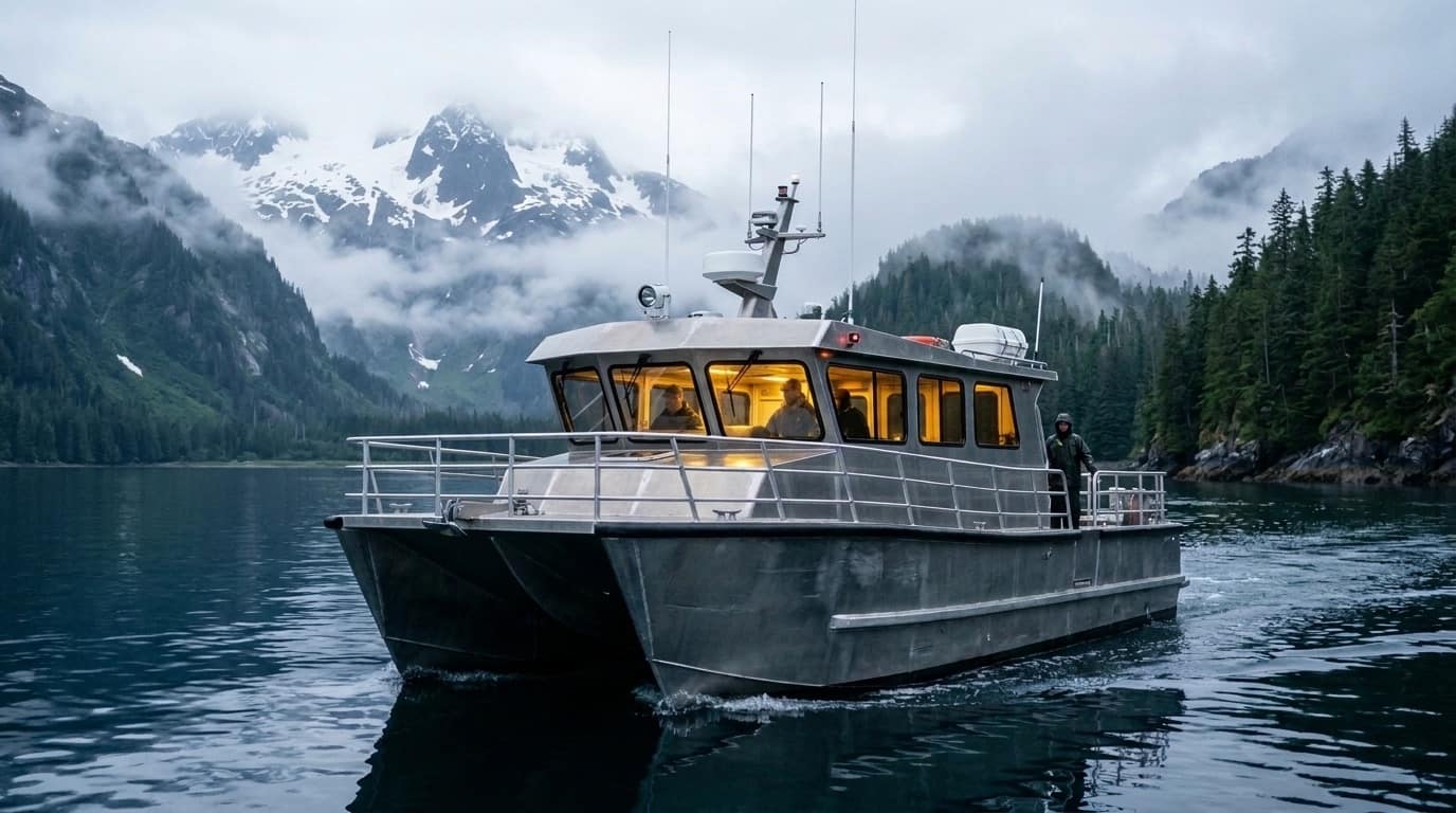
Multi-Passenger Catamaran & Monohull
42–60 FT · TWIN DIESEL / FOIL CAT
Engineered for stability, deck space, and big-water comfort. Ideal for corporate groups, family reunions over six people, or solo/pair anglers booking individual shared seats.
Capacity
12–22 Anglers
Stability
Wide-Beam / Twin Hull
Best For
Shared Seats & Big Groups
360-degree walkaround perimeter rails with multiple deckhands


 CLASS A · UNINSPECTED 6-PACK (MAX 6 ANGLERS)